Screenshots:
19th November 2008:
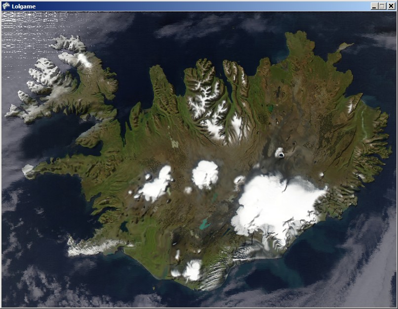
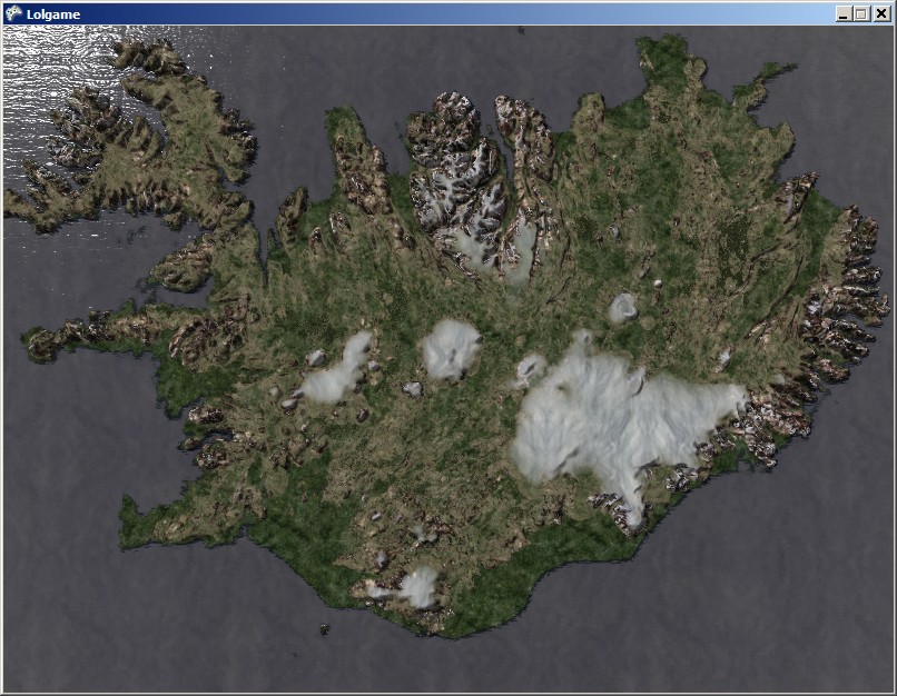
Iceland rendered using colourmap from authored satelite photograph. Note that cloud cover is inadvertantly drawn as textures, in cases on the water's floor:
As seen from close to terrain, low quality due to no texturing:

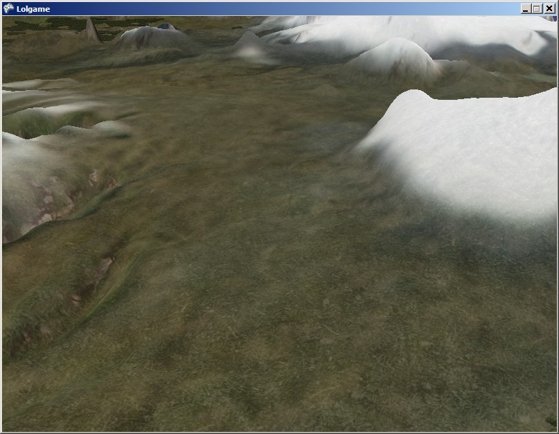
Using autobalancing of texture-colour merging. At this distance from the camera, 90% of the colourmap is used and 10% of the texture map:
As seen from close to terrain. At this distance, up to 60% of the texture colour comes from the texturemap and 40% from the colour map:
15th November 2008:
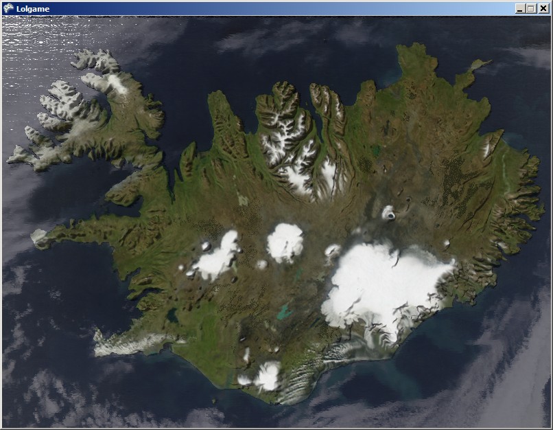
Iceland, as seen from above:
3rd September 2008:
Terrain generation making shore:

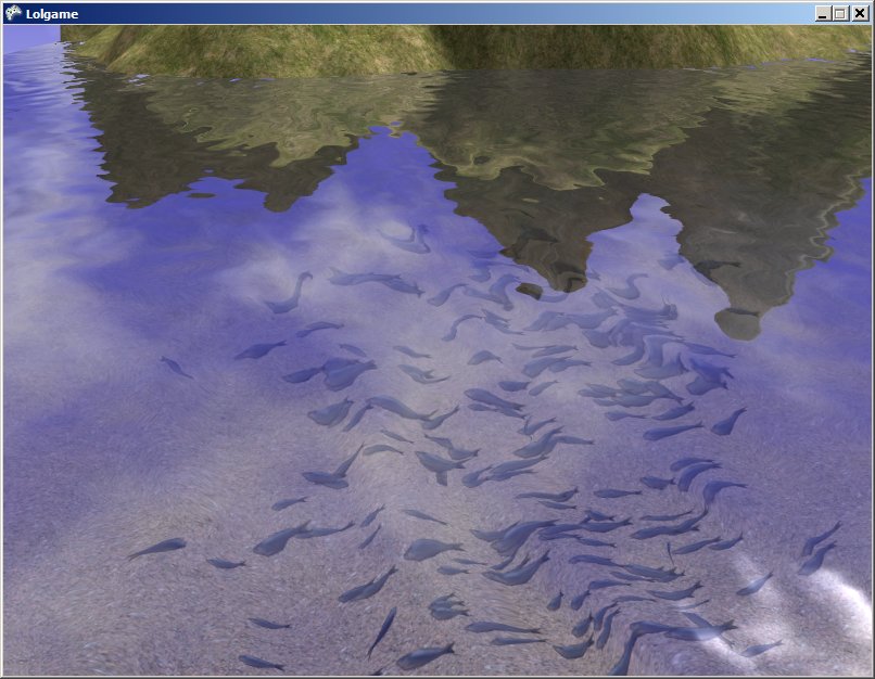
Fish shoal swimming forward